

From the New York Times opinion section:
We Tried Fuzzy Borders in the 19th Century. It Didn’t Go Well Then, Either.
May 27, 2026
By Stephen E. Hanson and Jeffrey S. Kopstein
Mr. Hanson and Mr. Kopstein are the authors of “The Assault on the State: How the Global Attack on Modern Government Endangers Our Future.”
A week after launching the war with Iran, President Trump was asked whether the map of the country would still look the same after the end of hostilities. His response was striking: “That I can’t tell you. Probably not.”
In an administration that frequently confuses swagger with strategy, this remark was nonetheless extraordinary. Iran is one of the largest countries in the world. Redrawing its borders might unleash political, ethnic and religious conflict that could destabilize the entire region. This is only one example of a much larger pattern: Mr. Trump’s notion of international borders is, in a word, fuzzy.
Mr. Trump has threatened to use the U.S. military in Colombia and Mexico and promised to “take back” the Panama Canal. … His long-running obsession with acquiring Greenland — backed by escalating diplomatic, economic and military pressure on Denmark and other NATO allies — has almost brought down the already-tottering Western alliance. After repeatedly musing aloud about turning Canada into the “51st state,” Mr. Trump now indulges in social media posts depicting Venezuela covered with the American flag.
… For someone who talks endlessly about borders, Mr. Trump has a porous idea of what they are. The result of this thinking will be a world of fuzzy borders, leading to a cacophony of territorial claims by rival states across the globe.
Today, international borders feel natural, even inevitable. Look at any standard map of the world, and the planet appears to be neatly parceled out, each country cleanly ending where another begins, rendered in distinct colors and locked in place by default settings. Disputes still exist — over Taiwan, Israel, Kashmir, Western Sahara — and they force awkward political compromises among mapmakers and in corporate boardrooms, where a misplaced line can trigger diplomatic backlash or regulatory punishment. Russian President Vladimir Putin’s effort to redraw the map unilaterally and erase Ukraine’s sovereignty over its legally defined territory is shocking precisely because it violates these taken-for-granted conventions. Still, for most of the world, borders appear to be fixed, legible and uncontroversial.
That stability is a historical anomaly. Before the 20th century, international borders were vague, shifting and endlessly contested. The very notion of a crisp line dividing one state from another is a modern invention. Empires continually expanded and contracted through war, marriage, purchase and inheritance. Sovereignty was personal rather than defined by clear jurisdictions, tied to dynasties rather than fixed land.
Nationalism emerged as an alternative to dynasticism. Who matters most: the people who have lived here for centuries or the hereditary monarch (who might have arrived from Saxony last week)?
The English enjoyed fairly fixed borders from roughly 927, 1099 years ago. And the ensuing clear-cut definition of who was English and who was not seemed to entitle the English to occasionally boot out a king or ruling family who weren’t getting the job done.
Being English rather than French, they didn’t quite explicitly reject hereditary monarchy, preferring to muddle along. But the English tended to subordinate the ruling family to the nation, especially after 1688.
Over the ages, it became apparent that the English had the best set-up in Europe. And thus over the course of the 18th through 20th Centuries, lots of other groups of people asserted their national sovereignties in opposition to hereditary rule by emperors.
As we are often reminded, this was not entirely a pain-free process. If you aren’t the English who can monopolize the best parts of their own island, coming to an agreement on the precise borders of the Continental countries tended to get people killed.
But, here’s the thing. That bloody process would appear to be by now mostly over. We all now agree on, say, the national borders of Slovakia.
The Ruthenians, in contrast, didn’t get a Ruthenia. That’s sad for Ruthenian nationalists, but that’s the way it goes.
… Fuzzy borders were not romantic spaces of freedom. They were engines of conflict.
Europe learned that lesson the hard way in 1914. An assassination in Sarajevo set off a chain reaction of incompatible territorial claims in the Balkans. …
The new global order created after World War II, despite its many shortcomings, has been remarkably successful in dealing with the fuzzy border problem. We tend to think of the global liberal order as resting primarily on the creation of new international institutions such as the United Nations, NATO, the International Monetary Fund and the World Bank. Less often noticed is the invention of a world system where, in principle, the linear boundaries of every state on the planet can be demarcated and are recognized by all.
That seems to me the dominant fact of the current world order (with emphasis on order): almost every square kilometer of land is recognized by most other states as belonging to one state and only one state. The small number of exceptions, such as Gaza and Taiwan, tend to be trouble spots or potential trouble spots.
It’s like how I get along with my neighbors great in part because the County Registrar of Deeds downtown has maps of who owns what property down to the inch. Hence, when the neighbor recently wanted to put up a fence, I checked my copy of the map. And, yup, their fence was totally going on their property, so everything was cool.
… Yet the post-World War II border system is still far more precise and institutionalized than that of any previous era.
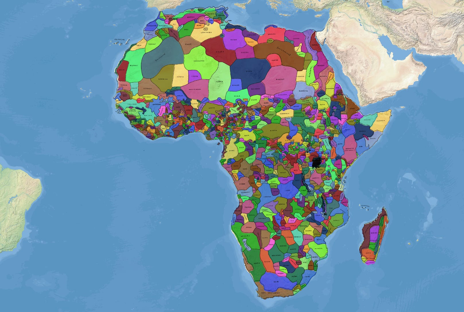
For example, the smartest thing that post-colonial politicians in Sub-Saharan Africa have done is to …
Paywall here.
